Major Step Towards Digital Land Records
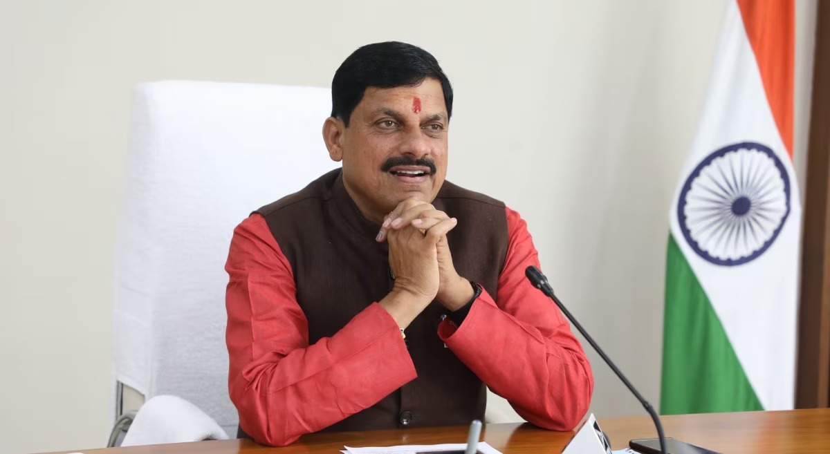
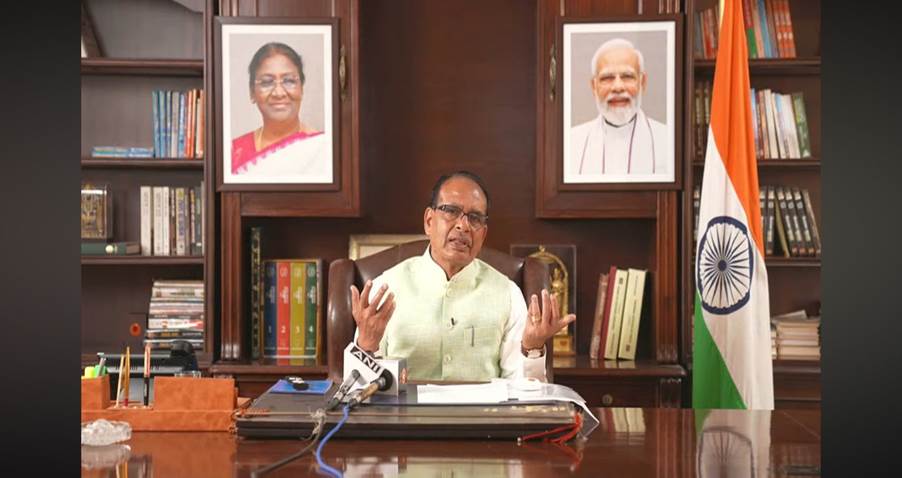
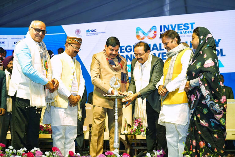
Bhopal (Madhya Pradesh): Union Agriculture Minister Shivraj Singh Chouhan and Chief Minister Mohan Yadav launched the City Survey Plan NAKSHA in Raisen on Tuesday. This initiative is a major step toward digitizing land records across India. The event marked the launch with the symbolic flying of a drone, highlighting the role of technology in land reforms.
NAKSHA to Transform Land Mapping Nationwide
Chouhan emphasized that the NAKSHA programme is not limited to Raisen but will be implemented nationwide. The initiative will be introduced as a pilot project across 26 states and three Union Territories, revolutionizing urban land surveys with advanced drone technology.
Accurate Land Mapping with Drone Technology
The programme will use drones to conduct precise land surveys in urban areas. This will generate accurate maps, allowing landowners to access official and transparent land records. Chouhan stated that this effort is part of a larger land reform revolution initiated under the leadership of Prime Minister Narendra Modi, aimed at streamlining and digitizing land records across India.
New Watershed Programme to Combat Water Scarcity
Alongside the NAKSHA programme, Chouhan announced a watershed programme in Madhya Pradesh to tackle water scarcity. This initiative includes the construction of check dams, stop dams, and other water conservation structures to improve water levels in the state.
Boost to Urban Planning & Land Dispute Resolution
Chief Minister Mohan Yadav highlighted the significance of the City Survey Plan (NAKSHA) in enhancing urban planning and reducing land disputes. He emphasized that the programme will empower citizens by providing transparent and reliable land records, ensuring property ownership clarity and reducing conflicts.
Yadav also underlined the importance of land as a valuable asset, stressing that clear land records are crucial for urban development and economic growth.
This initiative represents a major step toward modernizing land governance in India, making land records more accessible, accurate, and dispute-free.